Trail Walking Pont de Montvert - Sud Mont Lozère - 
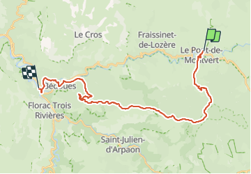
Etape 7 Pont Montvert/Florac - Photo
© OpenStreetMap contributors
Length
Length
30 km
Max alt
Max alt
1421 m
Uphill gradient
Uphill gradient
823 m
Km-Effort
Km-Effort  
42 km
Min alt
Min alt
535 m
Downhill gradient
Downhill gradient
1195 m
Boucle
Boucle
No
Creation date :
2023-08-06 05:32:44.592
Updated on :
2023-08-06 14:55:00.832

(0 Reviews)

Walking
Walking
7h56
Difficulty : Very difficult

Scan this QR Code to open this trail in the SityTrail application

FREE GPS app for hiking

Logo SityTrail SityTrail

IGN / Geographical institutes

Download SityTrail from the App Store Download SityTrail from Google Play

Logo SityTrail SityTrail Plus

The world is yours!

Download SityTrail from the App Store Download SityTrail from Google Play Download SityTrail on Huawei AppGallery

About

Trail Walking of 30 km to be discovered at Occitania, Lozère, Pont de Montvert - Sud Mont Lozère. This trail is proposed by Nathalie. Mercier.

Description

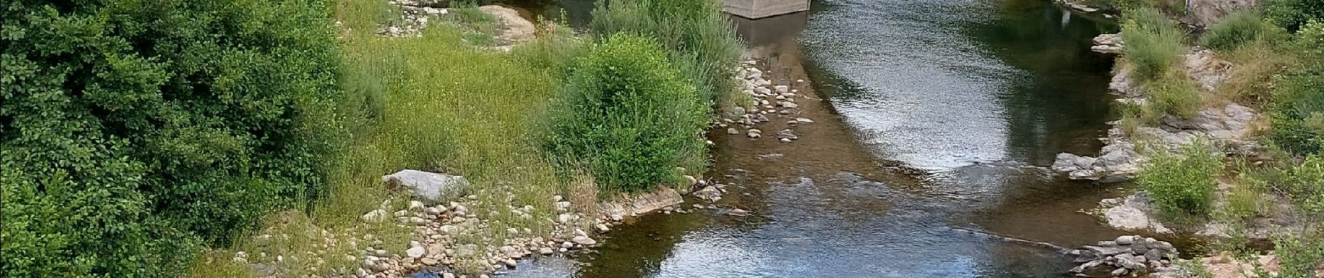
départ  direct en montée de plus en plus pierreux belle vue sur Pont Montvert  
Chemin pierreux prévoir suffisamment  d eau et pique nique , surtout  le dimanche  
après le col du Sapet descente en  continue  au milieu de cette jolie forêt , large chemin sans difficulté  possibilité d écouter de 4 km et de prendre le Gr 68  jusqu à Bédoués ..
Etape difficile  et longue

Elevation profile

Photos

Positioning

Country:
France
Region :
Occitania
Department/Province :
Lozère
Municipality :
Pont de Montvert - Sud Mont Lozère
Location:
Unknown
Start:(UTM)
559478 ; 4912763 (31T) N.


Close
My subscriptions